

Technology that brings designs to life
We continually reinvest in technology for greater accuracy and richer graphic communication — from precise engineering models to fully immersive experiences.
Built on rigorous engineering models
AutoCAD & Civil 3D
Precise, highly detailed plans for outdoor spaces. Civil 3D reinforces quality control with automated checks that uphold accuracy in grading, drainage and site development across the project lifecycle.
Autodesk Revit
Intelligent 3D modelling that integrates landscape elements within the broader architectural framework — a premier platform for coordinating with architects, engineers and stakeholders.
GIS & Spatial Data
We map, model and manage spatial data with GIS — layering site conditions, drone and satellite imagery, and asset inventories to ground every design decision in real-world context.
See it before it's built
Clients explore proposed designs at full scale — a deeper understanding of spatial relationships and design intent before construction begins.
Cutting-Edge 3D Capabilities
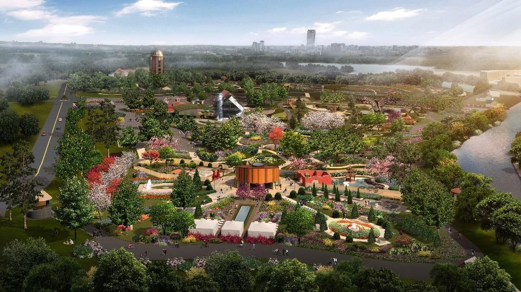
Immersive, highly detailed visualizations that bring proposed designs to life, revealing spatial relationships and materiality. We work across all major 3D file formats.
VR Simulations
Real-time experiences built with Unity and Lumion, viewed on high-fidelity headsets like Quest and Vive — an unparalleled sense of presence in a space that doesn't yet exist.
Augmented Reality
AR-enabled solutions overlay digital designs onto the real world, letting clients visualize projects on-site, in context, with precision and clarity.
Engineering software for smarter architecture
We don't just use existing software — we extend, integrate and develop custom tools to solve complex architectural challenges.
With in-house software engineering expertise, we streamline workflows, enhance interoperability, and create project-specific solutions that go beyond what off-the-shelf applications can offer.
- Custom tooling built around each project's requirements
- Automated checks for accuracy in grading, drainage and site development
- Seamless data hand-off between design disciplines and file formats
- Workflows tuned to cut cost and shorten delivery timelines
- In-house asset management & cataloguing software for tracking recreation and site assets
Drone survey, 3D terrain and full construction documentation — combined on projects like our regional athletic fields.
Accurate aerial capture feeds directly into our Civil 3D grading and drainage models, so what clients see in visualization is what gets built on the ground — on or under budget.
See the projects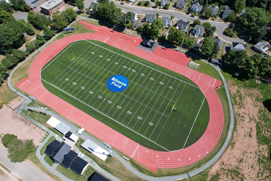
Want to walk through your project in VR?
We can model your site and let you experience it at full scale before a shovel hits the ground.
Talk to us